Our services.
-

Boundary Surveys
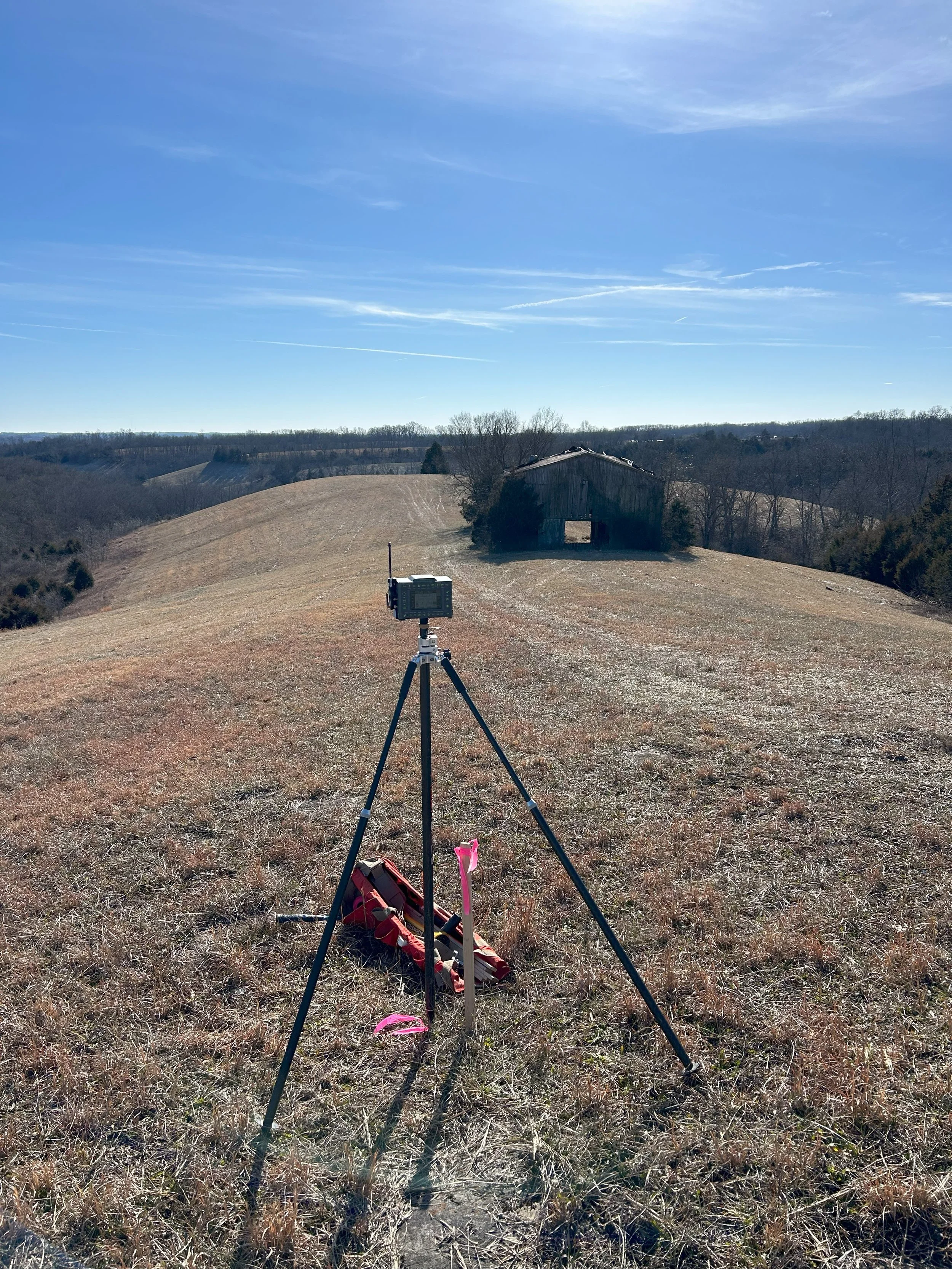
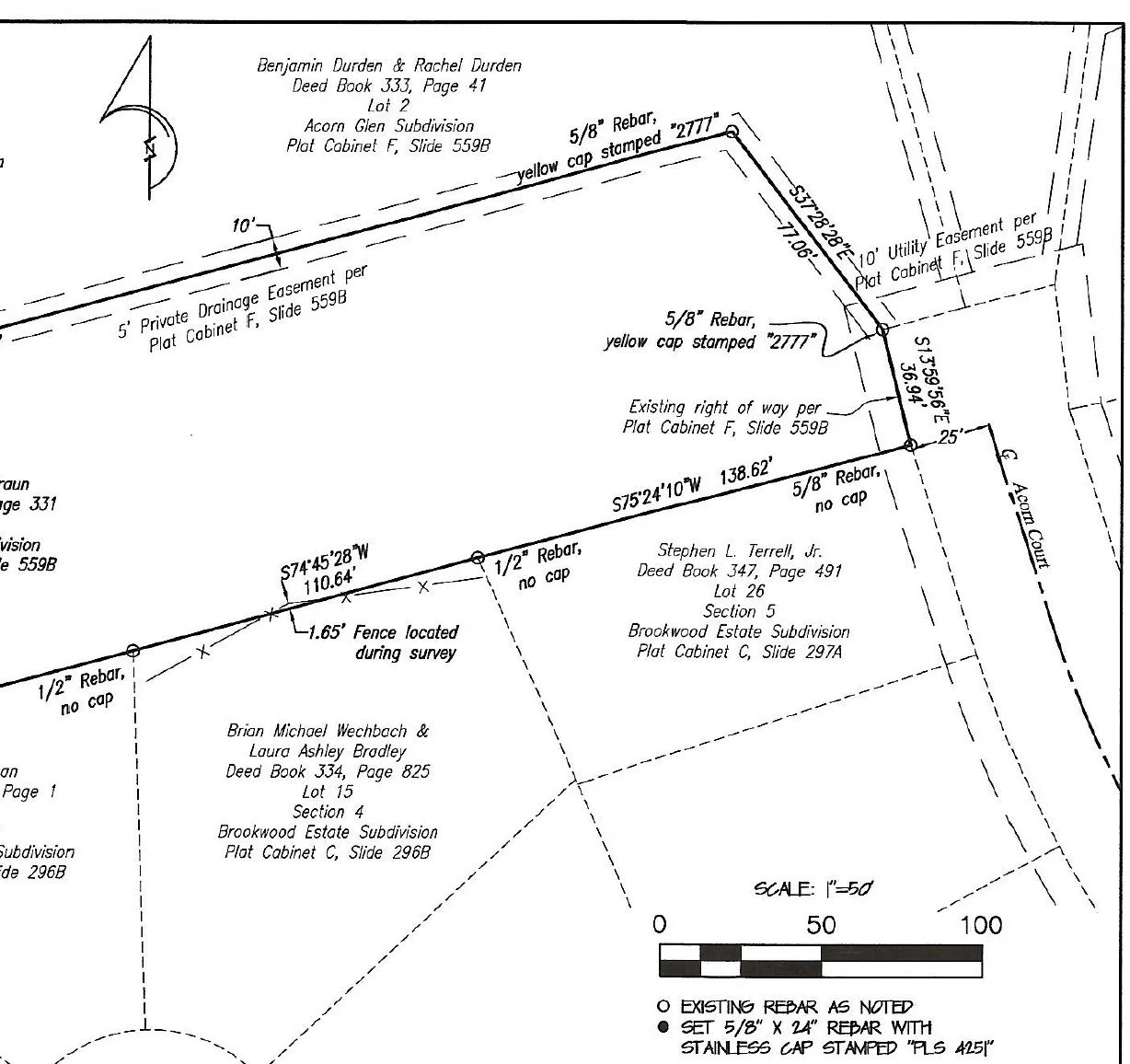
There are two types of “Boundary Surveys” which is the most common surveying request for DLS. The first is a retracement survey which defines the existing corners and lines and a plat of survey is provided. The other is a “division” survey which creates new line(s) such as a subdividing 100 acre farm into smaller lots. This scope is defining existing corners, setting new corners, a plat of survey and legal description is provided.
-

ALTA and Flood Certificate Surveys
ALTA stands for “American Land Title Association” and is a survey performed for commerical/industrial puproses. This survey is generally the most complex survey. Flood Certificates are generally to determine the elevation of a structure. Said structures are generally located in or near a floodplain and the survey is conducted for insurance companies.
-

Topographic Surveys
Topographic surveys are generally used to determine elevations and existign conditions of a site. We locate the ground elevations, utilities, improvements, etc. over the subject property.